Federal flood hazard areas for Lucas County to change in 2024, affect around 2000 properties
|
(LUCAS COUNTY, Ohio) – New flood insurance rate maps are coming in 2024 for certain property owners in Lucas County. FEMA (Federal Emergency Management Agency) notified the Lucas County Engineer’s Office – Lucas County Engineer Mike Pniewski is the Floodplain Administrator for the Lucas County Townships -- of the new flood hazard determinations in September.
The new determinations will affect about 2000 parcels in Washington and Jerusalem Township, the village of Harbor View and the cities of Toledo and Oregon, which are enrolled in the National Flood Insurance Program (NFIP). The NFIP provides flood insurance to property owners, renters and businesses and encourages communities to adopt and enforce floodplain management regulations. Having this coverage helps residents recover faster when floodwaters recede. Flood insurance is available to anyone living in one of the almost 23,000 participating NFIP communities. Homes and businesses in high-risk flood areas with mortgages from government-backed lenders are required to have flood insurance. |
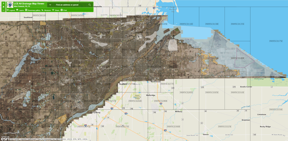
The new flood insurance study (FIS) report and flood insurance rate map (FIRM) will take effect February 22, 2024. Our office will be updating the regulation to include the new map updates, which are available on our website at LucasCountyEngineer.org/floodplain. Click on the Floodplain GIS map and under Layers, select the Floodplain filter.
FEMA will not be contacting property owners directly, so if you have any questions, consult your insurance agent or call our floodplain manager at 419-213-2860 to discuss any concerns. Citizens in Toledo (419-245-1220) and Oregon (419-698-7071) should contact them directly.
FEMA will not be contacting property owners directly, so if you have any questions, consult your insurance agent or call our floodplain manager at 419-213-2860 to discuss any concerns. Citizens in Toledo (419-245-1220) and Oregon (419-698-7071) should contact them directly.